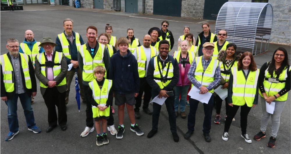
Insight EPE Manager Brendan Smith writes about the groundbreaking Crowd4Access citizen science project.
Earlier this month staff and students from across NUI Galway led by President Ciarán Ó hÓgartaigh commenced a photographic mapping of the university campus as part of Crowd4Access, a Citizen Science project initiative by the Insight SFI Research Centre for Data Analytic that is based on finding out about the accessibility of the footpaths of Irish cities and towns for the benefit of all users, from those that are visually impaired, to parents with buggies, to wheelchairs users and the very young. The Galway dimension is coordinated with the university’s Access Centre as part of its Enhancing Access and Inclusion programme.
Crowd4Access represents a dynamic partnership between citizens and Insight’s technology researchers with the latter later using AI to automatically identity key features such as tactile pavement, bollards and the different types of street crossings from the data presently being inputted manually by volunteers
A few months ago, the students of St. Jarlath’s College began the mapping of the town of Tuam with community volunteers commencing the process in Headford and Oranmore. The NUI Galway model will serve as an encouragement and as a template for people across the region in how to implement a combined community approach towards mapping urban areas that will provide the necessary data for NGOs and policy makers to make towns and cities more sustainable, more accessible for all and to improve the lives of all its inhabitants.
Note: Photo shows President Ciarán Ó hÓgartaigh with staff and students of NUI Galway commencing a group Crowd4Access mapping exercise of the campus